

Why Ho Chi Minh City Keeps Flooding: The Hidden Natural and Built‑In Causes
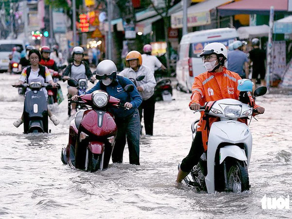
Urban flooding in Ho Chi Minh City is caused by heavy rain, high tides, low‑lying terrain, land subsidence, inadequate drainage systems and shrinking water‑retention areas, experts say. Identifying these factors is essential for choosing effective solutions.
According to Assoc. Prof. Dr Nguyen Phu Quynh, Deputy Director of the Southern Institute of Water Resources Research, many drainage structures were built 20–30 years ago. Because river and tidal levels and ground elevations have changed, those old systems may no longer meet the city’s current needs.
Le Ngoc Linh, Deputy Director of the municipal Department of Construction, points out that rapid urban expansion has widened topographical and hydrological differences across the city. As a result, canals, drainage networks and pumping stations are poorly connected and the overall water‑storage capacity remains limited.
Architect Nguyen Dinh Hoa of the Ho Chi Minh City Institute of Economics and Management stresses that flood‑control planning must cover entire drainage basins, because water follows terrain and drainage routes rather than administrative borders. He also notes that ground‑elevation changes and subsidence create bottlenecks in drainage gradients, worsening flood risk.
In short, Ho Chi Minh City’s floods are driven by heavy rain, high tides, low‑lying land, subsidence and an aging, fragmented drainage system. The city’s massive 2026‑2030 investment aims to address these intertwined causes through basin‑wide, integrated solutions.